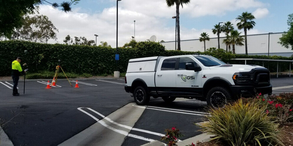
GIS Surveyors was awarded the work to support SPEC Services with their client, San Diego Gas and Electric (SDG&E). The project involves a 16” transmission natural gas pipeline labeled Line 1600 (L1600) that extends for approximately 43 miles throughout San Diego County. The aim of this program is to either replace the existing natural gas pipeline or hydrotest the gas line for safety compliance. GIS Surveyors is responsible for mapping approximately 33 miles that includes right-of-way determination, easement plotting and staking, utility sweeps, and collecting and providing topographic data.
Field survey crews searched for and located control monuments to aid in right-of-way and boundary determination, which allowed for development of plat and legal descriptions for new improvements and easements. With GIS Surveyors extensive background in right-of-way determination, easements and utility surveying, the company is able to deliver professional surveying services that provide not only reliable information to the client, but continually deliver within the expedited design schedule set by SDG&E. The quantity of survey work to be completed on a project of this scale can typically take at least one year to complete, but because of GIS Surveyors commitment to our clients and professional background, we were able to complete the Phase One survey tasks in nearly half the time, as well as managing and completing various change orders beyond the original scope of work.