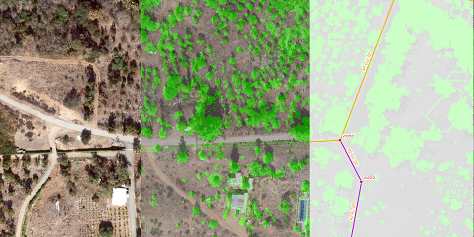
Our team of professionals are available for all your Geographic Information Systems (GIS) needs. From a simple mapping project to advanced geodatabase design and application development, we have the in-house experience and knowledge to help you communicate information in ways you thought were not possible.
Our GIS services include:
- Digitizing
- Spatial Analysis
- 2D/3D GIS Modeling
- Geodatabase Design & Creation
- Data Conversion
- FME/ETL Process Workflows
- PLS-CADD/LiDAR Conversion
- Data Migration
- Needs Assessment
- Program Development
- Web Based GIS Mapping
- Programming

