Federal Capabilities

GIS Surveyors is a leading provider of geospatial services, able to provide our Federal government clients with innovative, technical solutions focused on quality GIS and Lidar processing results. Our team’s capabilities span across GIS, Lidar, Land Surveying, and Underground Utility Location Services to support water, environment, infrastructure, and energy initiatives. As a multifaceted Geospatial firm,…

Read more

Land Survey

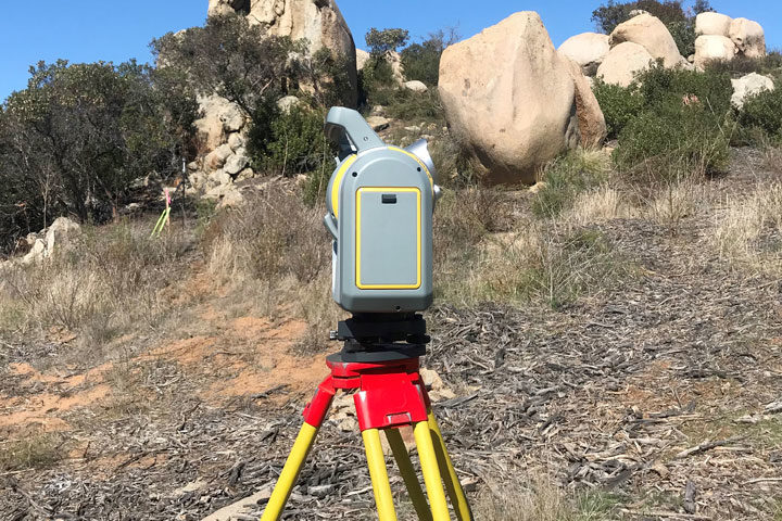
We offer a comprehensive range of surveying services using both traditional and modern techniques. Our survey team includes licensed land surveyors, Federal Aviation Administration (FAA) certified Unmanned Aerial Systems (UAS) pilots and mapping experts. From topographic surveys to map creation and construction staking to as-built surveys, we have the depth of experience, necessary skills and…

Read more

GIS

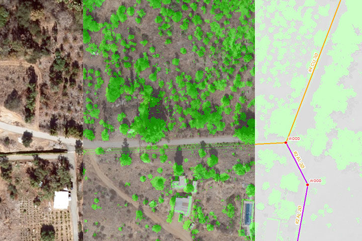
Our team of professionals are available for all your Geographic Information Systems (GIS) needs. From a simple mapping project to advanced geodatabase design and application development, we have the in-house experience and knowledge to help you communicate information in ways you thought were not possible. Our GIS services include: Digitizing Spatial Analysis 2D/3D GIS Modeling…

Read more

LiDAR

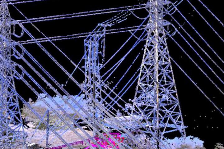
LiDAR data can be acquired and classified to provide geospatially accurate maps and models for a variety of purposes such as inventorying, vegetation management and engineering and design. Our LiDAR experts can help you collect, analyze and understand your data to help you reach your business goals. Start your LiDAR project today! Our LiDAR services…

Read more
Utility Locating

Utility Locating Services

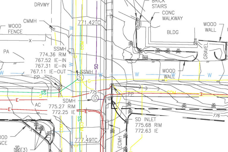
Our clients can take comfort in knowing that the sub-grade utility conflicts shown on our survey products have been located and verified with the highest industry standards. Utilizing our vast experience in the utility industry and state-of-the-art equipment such as radio locators, ground-penetrating radar, and closed-circuit TV inspections, GIS Surveyors’ crews can locate conflicts and…

Read more
City Planning

Services Overview

What distinguishes GIS Surveyors from other geospatial firms is our proficiency in the four key services essential for industry success: GIS, LiDAR, Land Surveying, and Utility Locating. This unique expertise empowers us to streamline projects with utmost efficiency. As an employee-owned firm, we attract top-notch talent, enabling us to seamlessly deliver innovative geospatial services to…

Read more