Land Survey

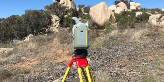
We offer a comprehensive range of surveying services using both traditional and modern techniques. Our survey team includes licensed land surveyors, Federal Aviation Administration (FAA) certified Unmanned Aerial Systems (UAS) pilots and mapping experts. From topographic surveys to map creation and construction staking to as-built surveys, we have the depth of experience, necessary skills and…

GIS

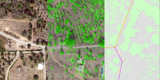
Our team of professionals are available for all your Geographic Information Systems (GIS) needs. From a simple mapping project to advanced geodatabase design and application development, we have the in-house experience and knowledge to help you communicate information in ways you thought were not possible. Our GIS services include: Digitizing Spatial Analysis 2D/3D GIS Modeling…

LiDAR

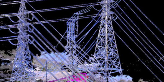
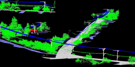
LiDAR data can be acquired and classified to provide geospatially accurate maps and models for a variety of purposes such as inventorying, vegetation management and engineering and design. Our LiDAR experts can help you collect, analyze and understand your data to help you reach your business goals. Start your LiDAR project today! Our LiDAR services…

Utility Locating

Utility Locating Services

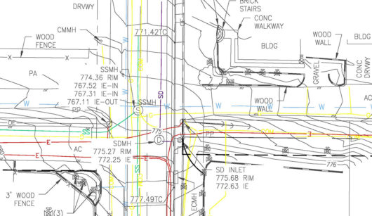
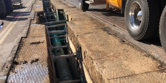
Our clients can take comfort in knowing that the sub-grade utility conflicts shown on our survey products have been located and verified with the highest industry standards. Utilizing our vast experience in the utility industry and state-of-the-art equipment such as radio locators, ground-penetrating radar, and closed-circuit TV inspections, GIS Surveyors’ crews can locate conflicts and…

PSEP

Pipeline Safety Enhancement Plan (PSEP)

PSEP was established to promote the continued safety and integrity of natural gas transmission pipelines by replacing or hydro-testing over 200 miles of high-pressure gas pipeline and replacing and/or upgrading approximately 400 mainline gas valves. GIS Surveyors Inc. (GSi) was the main contractor for the San Diego region projects providing base mapping, utility

Fire Risk Mitigation (FiRM) Program

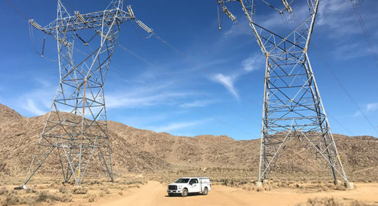
As part of the utilities commitment to providing safe and reliable energy, SDG&E’s FiRM Program was initiated in 2013 to replace aging infrastructure most at risk for wildfires. GIS Surveyors Inc. (GSi), has united the complimentary platforms of Land Surveying and GIS to provide on-going geospatial support to the FiRM initiative. Our team…

System Wide LiDAR Mapping Project

GIS Surveyors Inc. (GSi) was awarded a follow-on project with SDG&E to manage the LiDAR system wide mapping collection and QA/QC for over 8,800 miles of their infrastructure. The project consists of the acquisition, processing and delivery of raw and processed LiDAR files, identification and classification of specified features, orthophotography and oblique photos.…

Electric Program Investment Charge (EPIC)

The Electric Program Investment Charge (EPIC) is a California Public Utilities Commission (CPUC) funded research and development program designed to bring benefits to electricity ratepayers in the Southern California region. GIS Surveyors Inc. (GSi) provided subject matter and process development expertise for an applied research and development project that concerns the use, visualization…

1st Annual Warrior Built Golf Tournament

Warrior Built Needs Our Support As a future non-profit leader in the military sector, Warrior Built relies solely on the generosity of individuals, small business leaders and corporations for donations and financial support in carrying out and expanding their mission. Your support will not only provide a shop and/or equipment for current projects, but will…