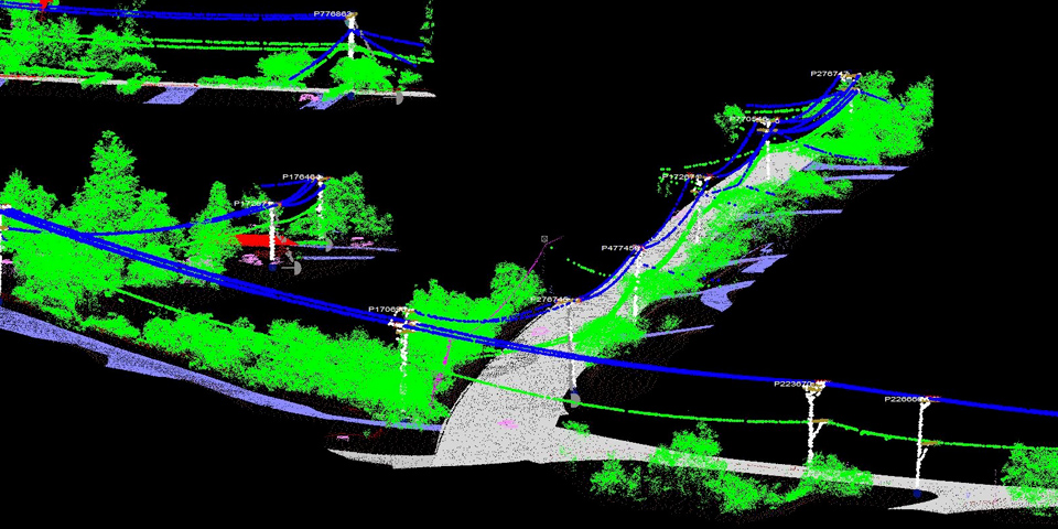
GIS Surveyors was awarded a follow-on project with SDG&E to manage the LiDAR system wide mapping collection and QA/QC for over 8,800 miles of their infrastructure. The project consists of the acquisition, processing and delivery of raw and processed LiDAR files, identification and classification of specified features, orthophotography and oblique photos. This data is used to inform SDG&E’s system wide inventory for the FiRM program to ensure accuracy of structure and conductor locations.
- Client: San Diego Gas and Electric (SDG&E)
- Category: LiDAR
- Key Components: LiDAR and Imagery Acquisition, LiDAR Processing, Ortho-imagery, Quality Assurance and Control, Project Management
- Sycamore to Penasquitos Transmission Project (SX-PQ) – San Diego Gas and Electric Company (SDG&E)
- Transmission Lines 690A-697 Camp Pendleton – Burns & McDonnell
- Transmission Line 697 Oceanside – Burns & McDonnell
- Transmission Line 628 Underground – Burns & McDonnell
- Skills Center Guy Relocation – Burns & McDonnell
- Playa Del Rey Pipe Bridges – Southern California Gas (SoCal Gas)
- High Fire Threat District (HFTD) LiDAR Mapping – San Diego Gas and Electric Company (SDG&E)
- Transmission Line 684 Comm Lines – San Diego Gas and Electric Company (SDG&E)
- Transmission Line 617 Balboa – San Diego Gas and Electric Company (SDG&E)
- Aerial Line Markers As-Built Scans – San Diego Gas and Electric Company (SDG&E)


